Polish meeting of the InCoNaDa project

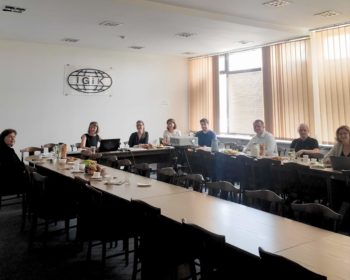
Today, we have a meeting of the Polish team of the InCoNaDa project at the headquarters of the Institute of Geodesy and Cartography. The aim of the meeting was to discuss the tools enabling the design and creation of a prototype of a web application adapted to the needs of…

Continue reading

The 1st publication from the InCoNaDa project

We are pleased to announce that the 1st publication from the InCoNaDa project was published: Waśniewski A., Hościło A., Chmielewska M.: Can a Hierarchical Classification of Sentinel-2 Data Improve Land Cover Mapping? Remote Sensing ,2022, 14, 989; https://doi.org/10.3390/rs14040989 Link to publication: https://www.mdpi.com/2072-4292/14/4/989.

Continue reading

InCoNaDa at Conference of the Polish Spatial Society

The team from the Centre of Applied Geomatics at IGIK: Milena Chmielewska, Adam Waśniewski and Agata Hościło gave the presentation on “Comparative analysis of grasslands from the European Copernicus program against national reference data ” at the XXX Conference of the Polish Spatial Society: “Interdisciplinary role of geoinformation”. The conference was organised under the Honorary Patronage of the Ministry of Development and Technology, and took place on November 9-10, 2021.

Continue reading