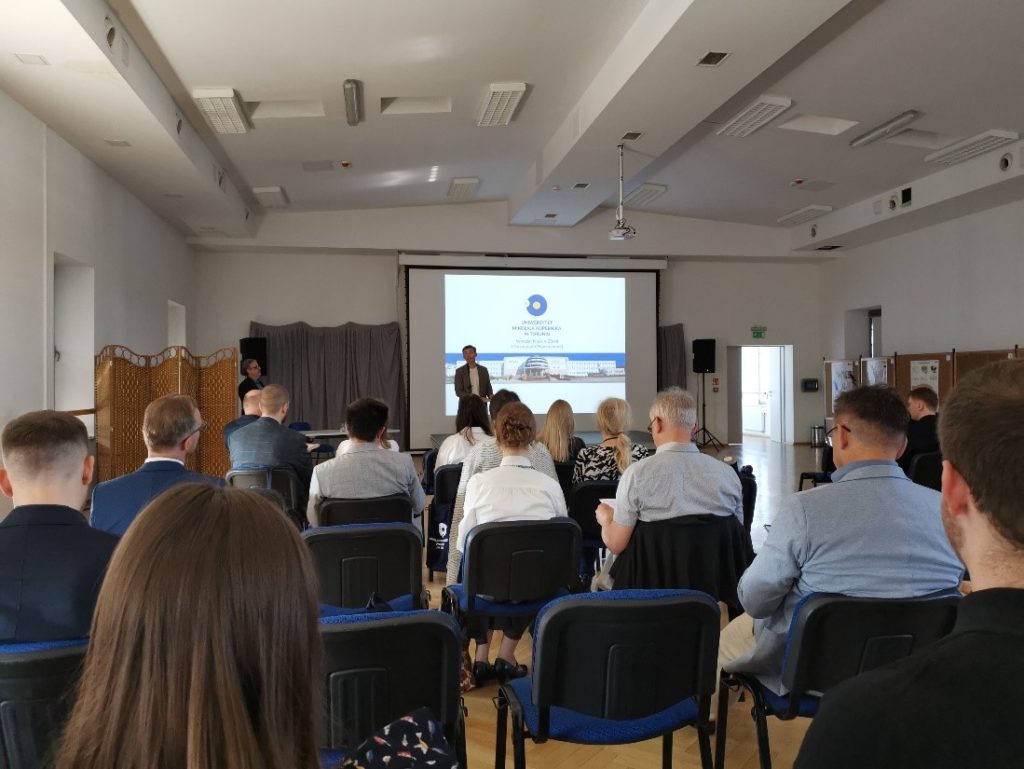
The InCoNaDa project was presented in the IX National Conference “GIS in Science” 2022
on 23-24 June in Toruń. Both plenary and thematic sessions related to the use of Geographic Information Systems in planning, urban planning, ecology and military private companies exchanged experiences gained during daily work on research projects.
Representative of the InCoNaDa Piotr Pielacha consortium from the Center for Applied Geomatics of the Institute of Geodesy and Cartography gave a speech entitled “The potential of a database based on a regular grid of squares in harmonization and spatial analysis”, which was realized in cooperation with Agata Hościło and Aneta Lewandowska. During the presentation, an emerging web application was highlighted, which will be the place where the results of research work in the project will be published.