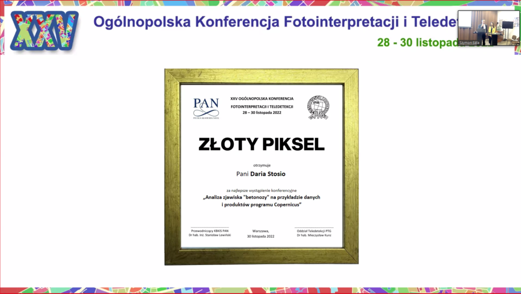
On 28-30 November 2022, the XXV National Conference on Aerial Photointerpretation and Remote Sensing was held, at which employees of the Centre of Applied Geomatics of the Institute of Geodesy and Cartography presented the results of work carried out within the InCoNaDa project. Adam Waśniewski presented a paper entitled: “Evaluation of the influence of reference data and the Numerical Terrain Model on the result of land cover classification on the example of Viken County in Norway”. Whereas Daria Stosio presented a paper entitled ‘Analysis of the “betonoza” phenomenon on the example of data and products of the Copernicus programme’, for which she received the ‘Golden Pixel’ award for the best conference speech.
We use cookies to ensure that we give you the best experience on our website. If you continue to use this site we will assume that you are happy with it.Ok