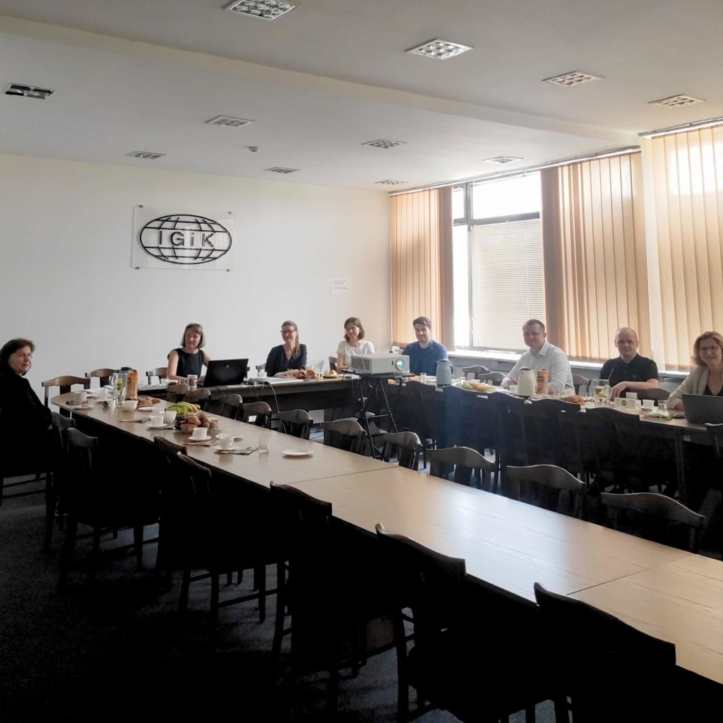
Today, we have a meeting of the Polish team of the InCoNaDa project at the headquarters of the Institute of Geodesy and Cartography. The aim of the meeting was to discuss the tools enabling the design and creation of a prototype of a web application adapted to the needs of users, allowing to:
- compare data of land cover and land use from national databases witch the Copernicus land service
- calculating statistics
- generating maps and reports
In the meeting participated representatives Institute of Environmental Protection – National Research Institute, Lodz University of Technology and Eversis.