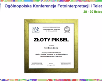
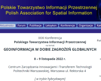
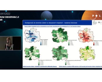
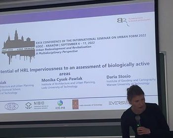
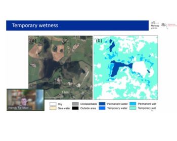
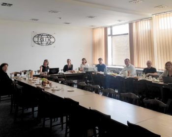
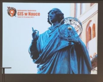
The 1st publication from the InCoNaDa project

We are pleased to announce that the 1st publication from the InCoNaDa project was published: Waśniewski A., Hościło A., Chmielewska M.: Can a Hierarchical Classification of Sentinel-2 Data Improve Land Cover Mapping? Remote Sensing ,2022, 14, 989; https://doi.org/10.3390/rs14040989 Link to publication: https://www.mdpi.com/2072-4292/14/4/989.

Continue reading

InCoNaDa at Conference of the Polish Spatial Society

The team from the Centre of Applied Geomatics at IGIK: Milena Chmielewska, Adam Waśniewski and Agata Hościło gave the presentation on “Comparative analysis of grasslands from the European Copernicus program against national reference data ” at the XXX Conference of the Polish Spatial Society: “Interdisciplinary role of geoinformation”. The conference was organised under the Honorary Patronage of the Ministry of Development and Technology, and took place on November 9-10, 2021.

Continue reading

57th ISOCARP World Planning Congress

We invite you to participate in the 57th ISOCARP World Planning Congress, where the Team from Łódź University of Technology: Dr Eng. Monika Cysek-Pawlak and PhD Candidate Jakub Misiak will give a presentation on “Spatial Planning Needs Towards Copernicus Land Monitoring Services”. The study has been conducted as part of…

Continue reading