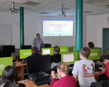
InCoNaDa presented in the Silicon Valley Center

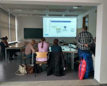
Prof Monika Cysek-Pawlak from the Institute of Architecture and Urban Planning at the Łódz Uniwersity of Technology presented the results of the InCoNaDa project in the Silicon Valley Center. She presented the analysis of the usefulness of CLMS products for urban and spatial planning. More on the presented projects: All projects – Poland in Silicon Valley