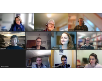
The 10th quarterly meeting
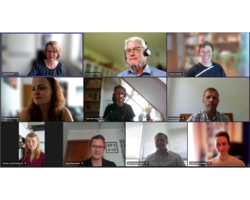
The 10th quarterly progres meeting was held online on the 22 May 2023. The objective of the meeting was to up-date project partners on the work progrs in individual work packages, to discuss the plans for the next quarter and the publication plan. Our plans for the coming months includes…