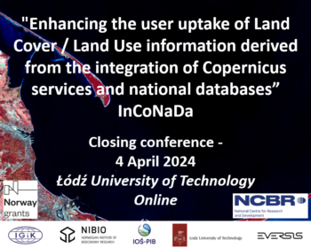
The final conference of the InCoNaDa project
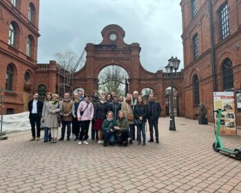
We thank you all for the participation in the closing conference of the InCoNaDa Project. We hope that you enjoyed our event and learned about the outcomes of the project. Many thanks to the Łódź University of Technology for hosting and organizing the event. The presentations are available here: https://inconada.eu/index.php/2024/04/16/prezentacje-z-konferencji-zamykajacej-projekt-inconada/