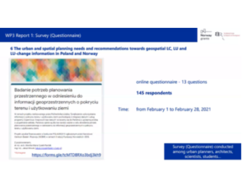
We achieved the first project milestones
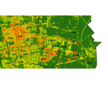
We achieved the first project milestones: 1) Usefulness of Copernicus High Resolution Water&Wetness layer for biodiversity assessment, accurate delineation of wetland and assessment of agricultural landscapes, 2) Investigation of reporting obligations in the context of land cover LC, land use LU and changes LULUCF, 3) Analysis of urban and spatial planning needs towards…