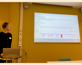
InCoNaDa presented at Spatial Statistics conference
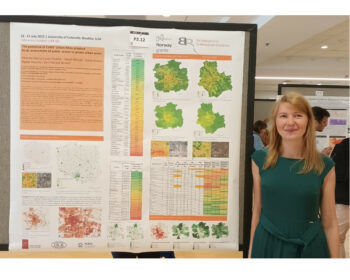
PhD Monika Cysek-Pawlak from the Lodz University of Technology presented the results of the analysis on potential of CLMS Urban Atlas product to an assessment of public access to green urban areas at the Spatial Statistics 2023 conference, 18-21 July 2023 University of Colorado, Boulder, USA. Link to poster: Cysek-Pawlak_et_al_SS23