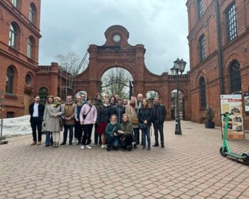
The final conference of the InCoNaDa project

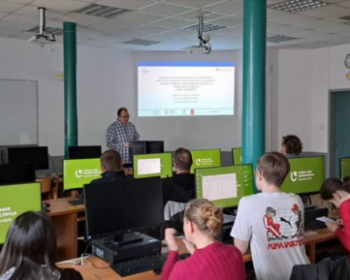
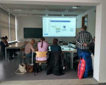
We thank you all for the participation in the closing conference of the InCoNaDa Project. We hope that you enjoyed our event and learned about the outcomes of the project. Many thanks to the Łódź University of Technology for hosting and organizing the event. The presentations are available here: https://inconada.eu/index.php/2024/04/16/prezentacje-z-konferencji-zamykajacej-projekt-inconada/

Continue reading

Invitation to the InCoNaDa closing conference

On behalf of the consortium of InCoNaDa project: “Enhancing the user uptake of Land Cover / Land Use information derived from the integration of Copernicus services and national databases”, we would like to invite you to the InCoNaDa Closing conference on the 4th of April 2024 (8:30 – 16:00) in…

Continue reading

New publication on the spatial planning needs

We are pleased to announce that the results of study on the needs related to geospatial LC, LU, and LC/LU-change information for spatial planning in Poland and Norway as well as examination  of the usefulness of CLMS products in the context of these planning systems has been published: Cysek-Pawlak, M.,…

Continue reading

InCoNaDa presented at the I Geoinformation Congress

Adam Waśniewski and Alicja Rynkiewicz, specialists in the Centre for Applied Geomatics at the Institute of Geodesy and Cartography presented the results of the InCoNaDa project (WP1) at the national conference in Kraków, Poland 25-27 October 2023 – the I Geoinformation Congress titled as Contemporary geoinformation technologies in spatial modelling. Two posters were…

Continue reading

Invitation to the 2nd InCoNaDa webinar

The consortium of InCoNaDa project invites to the 2nd InCoNaDa online webinar on the 17th October 2023 (9:00 – 12:30). The main goal of InCoNaDa is to improve the user uptake of land cover and land use information derived from the integration of Copernicus Land Monitoring Service (CLMS) and national databases. At this webinar we would like…

Continue reading