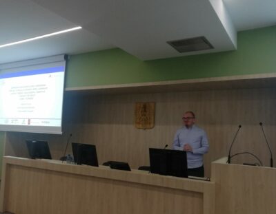
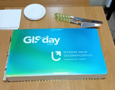
On November 15th, at the Faculty of Geographical Sciences of the University of Lodz was held the GISday 2023 conference. Sebastian Florczyk from the Institute of Geodesy and Cartography presented the prototype of the “InCoNaDa” application under the title: Promoting the use of land cover and land use information from the integration of the Copernicus Land Monitoring Service and national databases. The “InCoNaDa” project. link to the presentation
We use cookies to ensure that we give you the best experience on our website. If you continue to use this site we will assume that you are happy with it.Ok