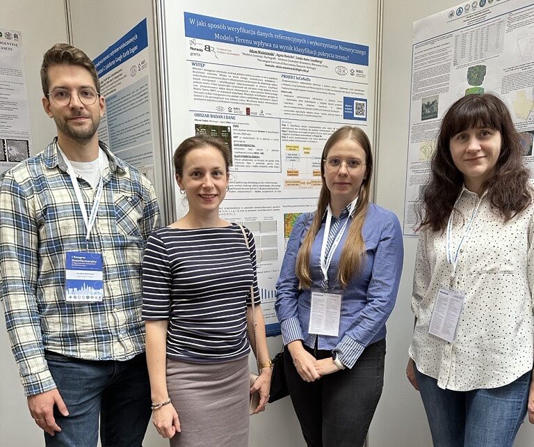
Adam Waśniewski and Alicja Rynkiewicz, specialists in the Centre for Applied Geomatics at the Institute of Geodesy and Cartography presented the results of the InCoNaDa project (WP1) at the national conference in Kraków, Poland 25-27 October 2023 – the I Geoinformation Congress titled as Contemporary geoinformation technologies in spatial modelling. Two posters were presented:
- How the verification of reference data and use of the Digital Elevation Model affect the land cover classification accuracy?, Adam Waśniewski, Agata Hościło, Instytut Geodezji i Kartografii, Linda Aune-Lundberg, Norwegian Institute of Bioeconomy Research – link to the poster
- Detection of land cover changes based on the Sentinel-2 multitemporal data and the Google Earth Engine platform, Alicja Rynkiewicz, Agata Hościło, Aneta Lewandowska, Anna Kończak, Instytut Geodezji i Kartografii, Linda Aune-Lundberg, Anne B. Nilsen, Norwegian Institute of Bioeconomy Research, Norwegia – link to the poster

